Day 0: Arrivals
Upon your arrival at Kilimanjaro Airport JRO you will meet your trekking guide followed by an hour drive to the hotel in Moshi Town for an orientation on your trek. You will spend the remaining day at the Hotel or hang around Moshi town. Your guide will provide you with all the details on your trek and will also check your trekking gears. If you have missed one, your guide will help you on how to rent those missing gears from the rental shops.
Day 1: Moshi to Machame Gate to Machame Camp
Drive from Moshi to Machame Gate takes about 45 minutes. The journey passes through the village of Machame which is located on the lower slopes of the mountain. We depart the park gate and walk through the rain forest on a winding trail up a ridge. At lower elevations the trail can be muddy and slippery. We continue a medium distance until we reach the Machame Camp.
Elevation: 1800m to 2850m
Distance: 11km/7mi
Hiking Time: 5-6 hours
Habitat: Montane Forest
Day 2: Machame Camp to Shira Camp
In the morning your hike will lead you from forest to heather and moorland. We leave the glades of the rain forest and continue on an ascending path up to a steep, rocky ridge. On the Shira Plateau, we pass through heather and open moorlands, then cross a large river gorge to Shira Camp.
Elevation: 2850m to 3750m
Distance: 5km/3mi
Walking Time: 4-5 hours
Habitat: Moorland
Day 3: Shira Camp to Barranco Camp via Lava Tower
From the Shira Plateau we continue to the east up a ridge, passing the junction towards the peak of Kibo. As we continue, our direction changes to the South East towards the Lava Tower, called the "Shark's Tooth" (elev 4650m/15,250ft). Shortly after the tower we come to the second junction which goes to the Arrow Glacier. We now continue down to the Barranco Camp. Although you end the day around the same elevation as when you began, this day is very important for acclimatization and will help your body prepare for summit day.
Elevation: 3750m to 3900m
Distance: 10km/6mi
Walking Time: 5-6 hours
Habitat: Moorland and Semi-desert
Day 4: Barranco Camp to Karanga Camp
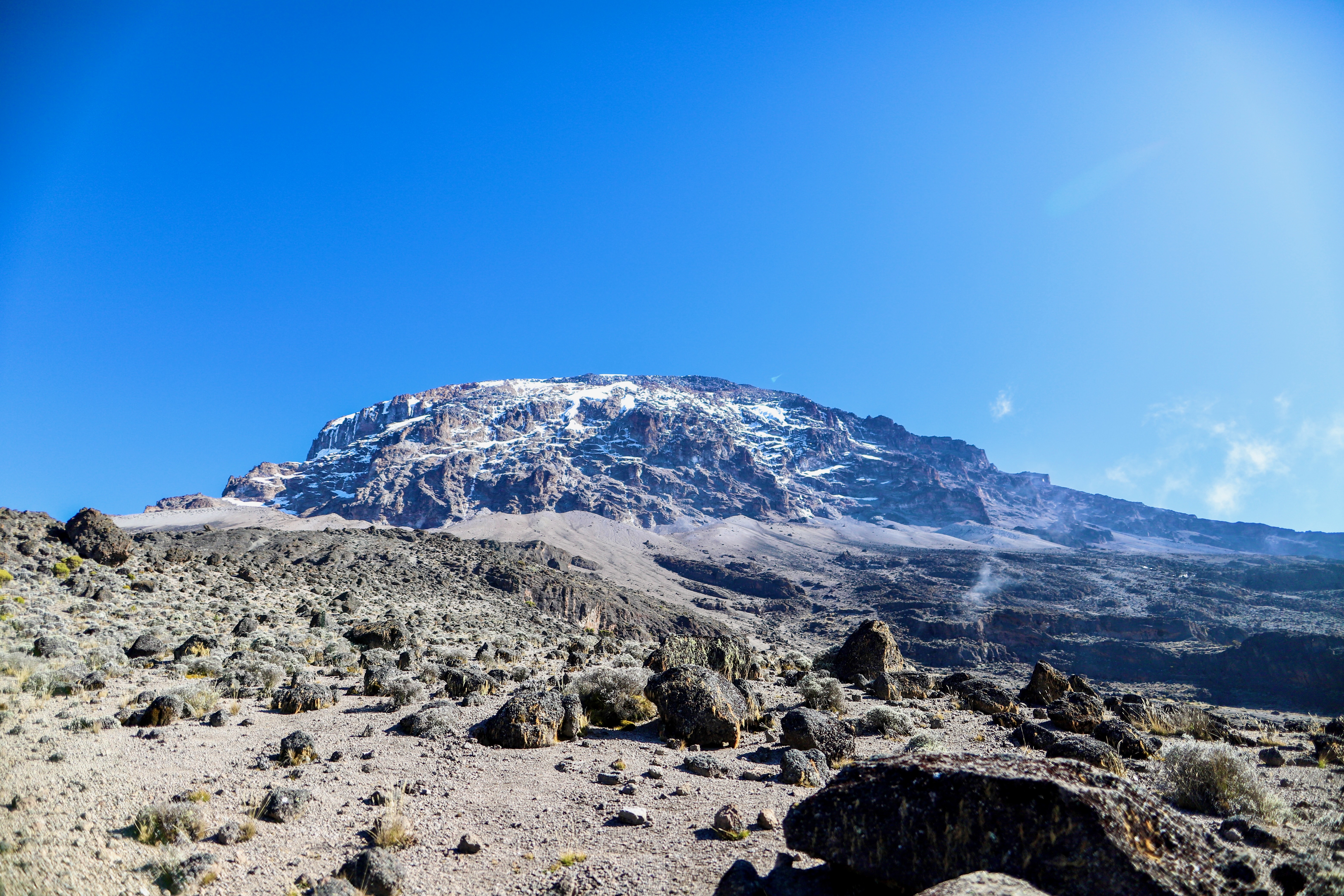
Today will start with the daunting Barranco Wall. Soon you will realize it looks worse than it actually is, but there are tricky sections where you will need to hold on tight. Admire the views from the top. The rest of the route follows along the mountain ridge into the Karanga valley and out. You reach Karanga Camp after lunch and you will have fantastic views of the southern glacier of Kibo as well as of the Kibo summit. This is a shorter day meant for acclimatization.
Elevation: 3900m to 4000m
Distance: 6km/3.6mi
Hiking Time: 3-4 hours
Habitat: Alpine Desert
Day 5: Karanga Camp to Barafu Camp
Following breakfast, you will leave Karanga Camp (3959m). The trail intersects with the Mweka Route, which is the trail used to descend on the final two days. As you continue hiking for an hour, you will reach Barafu Hut. This is the last water stop for the porters because there is no accessible water at Barafu Camp (4550m). The word "barafu" in Swahili means "ice" and this camp is located on a rocky, exposed ridge. Tents will be exposed to wind and rocks so it is important for hikers to familiarize themselves with the campsite before dark. An early dinner will be served so hikers can rest before attempting the summit the same night. Your guide will brief you in detail on how to prepare for summit night. Get to sleep by 19:00!
Elevation: 4000m to 4700m
Distance: 4km/2.3mi
Hiking Time: 3-4 hours
Habitat: Alpine Desert
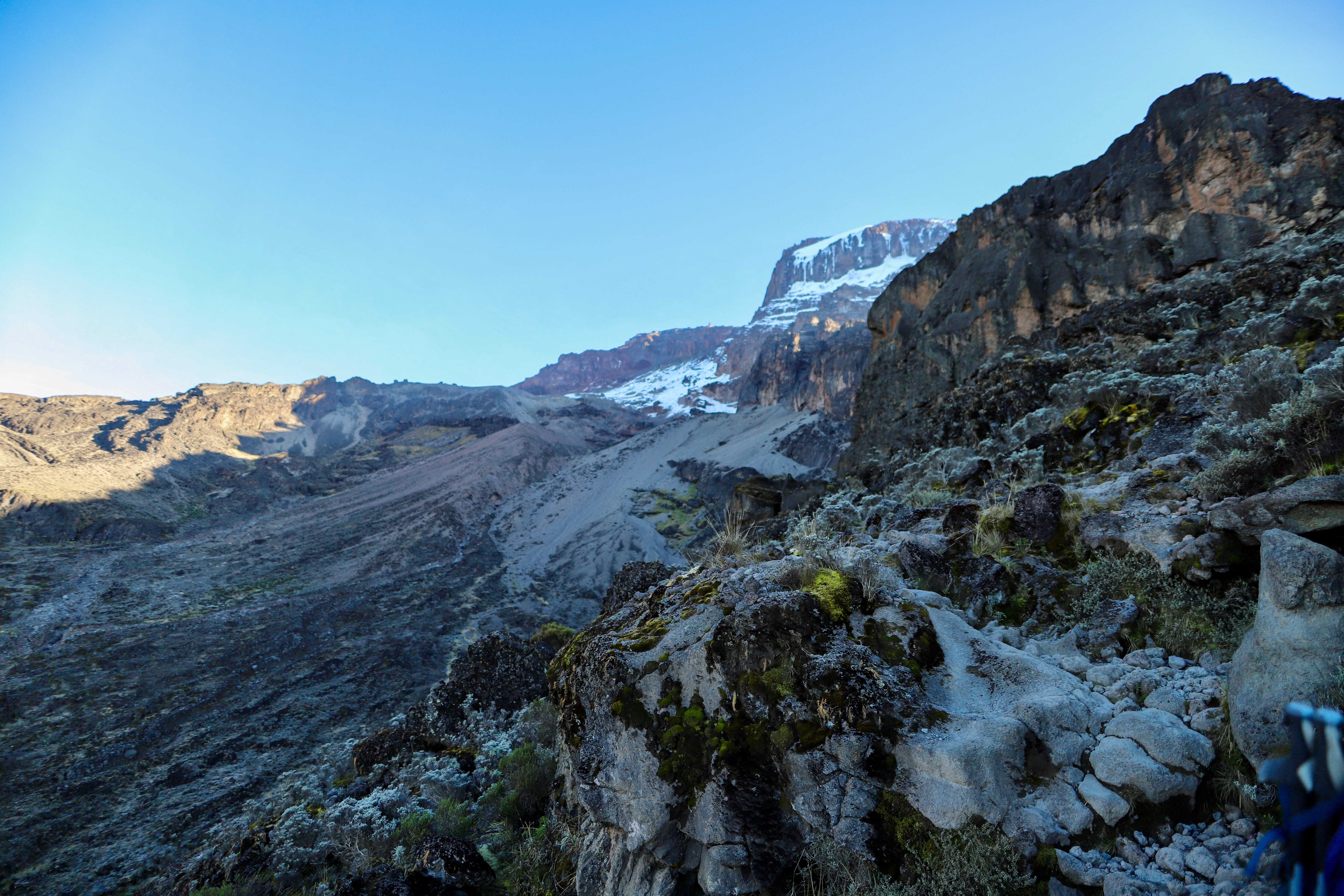
Day 6: Barafu Camp to Summit to Mweka Camp
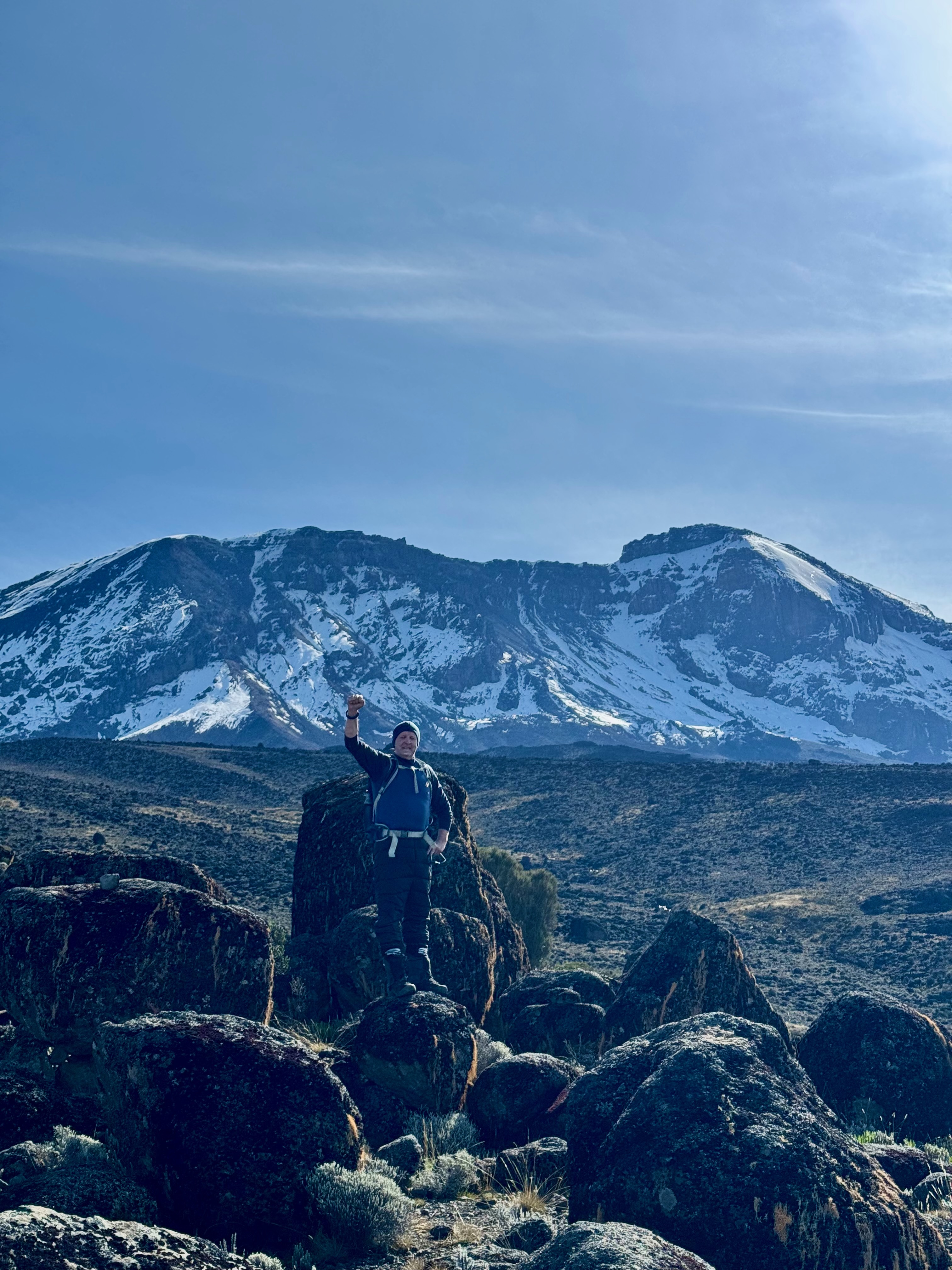
You're starting your day early today – just after midnight, in fact! Your climbing team will wake you with a cup of hot tea and a light snack for energy as you get dressed and prepare your daypack for the adventure ahead. You'll be hiking in utter darkness for the next 5-7 hours, so take it slow and you'll arrive at Stella Point a few hours before dawn. From here, there's another two hours of intense hiking before you reach your ultimate goal: Uhuru Peak. Standing at 5,985m, you'll be able to experience a spectacular sunrise and take in the panoramic view. You've done it! After snapping your photos and soaking it all in, you'll begin the descent back down towards Barafu Camp, where you'll stop for lunch and some celebration. After a bit of rest, you'll continue down to Mweka Camp to overnight.
Elevation: 4700m to 5895m/19,340ft Down to 3090m
Distance: 5km/3mi up / 13km/8mi down
Hiking Time: 5-7 hours up / 5-6 hours down
Habitat: Ice-capped, Stone scree, Heather and moorland
Day 7: Mweka Camp to Mweka Gate to Moshi
With Uhuru Peak a glorious memory far behind you, you'll begin your hike back to civilization on a full stomach. It can be slippery so watch those knees! You'll have time to take in the misty cloud forest and perhaps even spot a Colobus monkey. Arriving at Mweka Gate you'll receive your summit certificates and don't forget to tip your guide, cook and porters. It is time for celebration!
Elevation: 3090m to 1680m
Distance: 10km/6mi
Hiking Time: 3-4 hours
Habitat: Montane Forest
 EN
EN
 DE
DE
 FR
FR
 ES
ES
 CN
CN